Information

Wildfire information for Ontario communities

Free public resources from Pyrocene Consulting to help property owners, communities, businesses and agencies understand wildfire risk where they live and work.

Area hazard overviews

Wildfire risk overviews by area

Public summaries of wildfire risk across three Ontario cottage regions. Each is free to view, download and share in full.
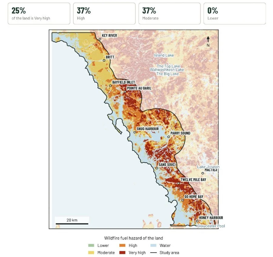
Wildfire fuel hazard map of the Georgian Bay east shore from Honey Harbour to Key River: 25% of the land is Very high, 37% High, 37% Moderate and 0% Lower

Georgian Bay East Shore

Georgian Bay East Shore Wildfire Risk Overview

Honey Harbour to Key River · Public summary · November 2026 · PDF, 11 pages

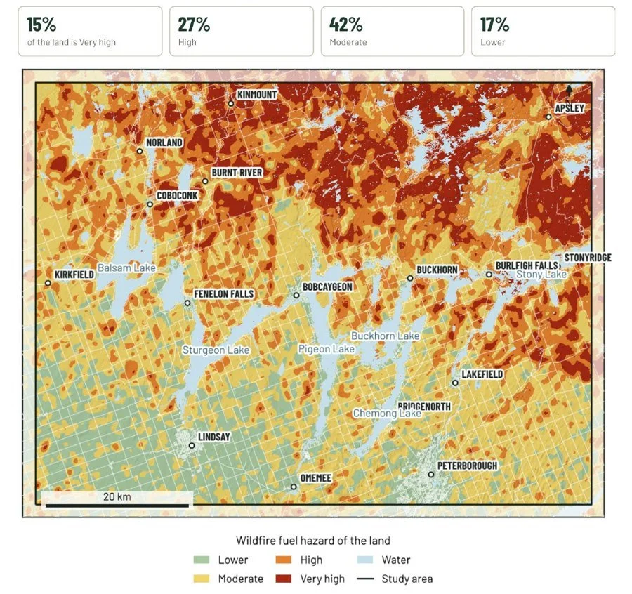
Wildfire fuel hazard map of the Kawartha Lakes area from Kirkfield to Stony Lake: 15% of the land is Very high, 27% High, 42% Moderate and 17% Lower

Kawartha Lakes

Kawartha Lakes Area Wildfire Risk Overview

Kirkfield to Stony Lake · Public summary · November 2026 · PDF, 11 pages

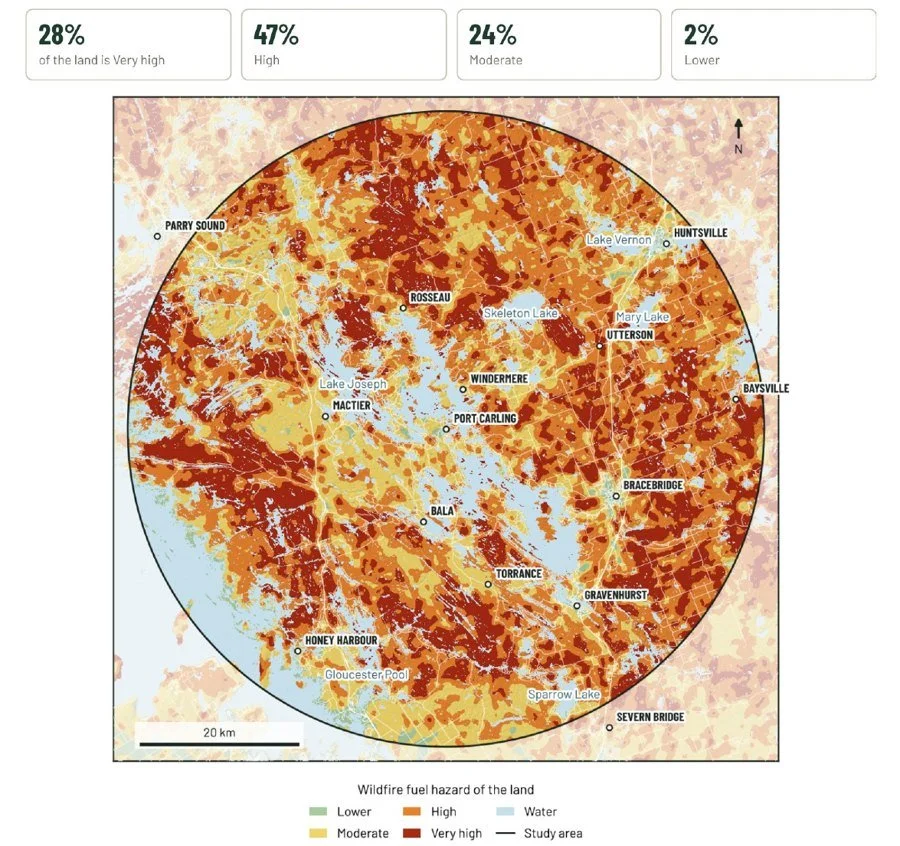
Wildfire fuel hazard map of the Muskoka Lakes area within 40 km of Port Carling: 28% of the land is Very high, 47% High, 24% Moderate and 2% Lower

Muskoka Lakes

Muskoka Lakes Area Wildfire Risk Overview

40 km around Port Carling · Public summary · November 2026 · PDF, 11 pages

These overviews describe wildfire risk across a whole area. They are not a rating of any one property or community. For your own property, book a Cottage Wildfire Check.

Find out what applies to your property

Email info@pyrocene.ca.

Request an assessment